
Aerial footage reveals the scale of Spain’s La Mierla wildfire
Updated: 22/07/2026 - 8:12 GMT+2 Aerial footage shows the scale of the La Mierla wildfire in Guadalajara, Spain, as firefighters battle a blaze that has burned up...
Updated: 22/07/2026 - 8:12 GMT+2
Aerial footage shows the scale of the La Mierla wildfire in Guadalajara, Spain, as firefighters battle a blaze that has burned up to 30,000 hectares.
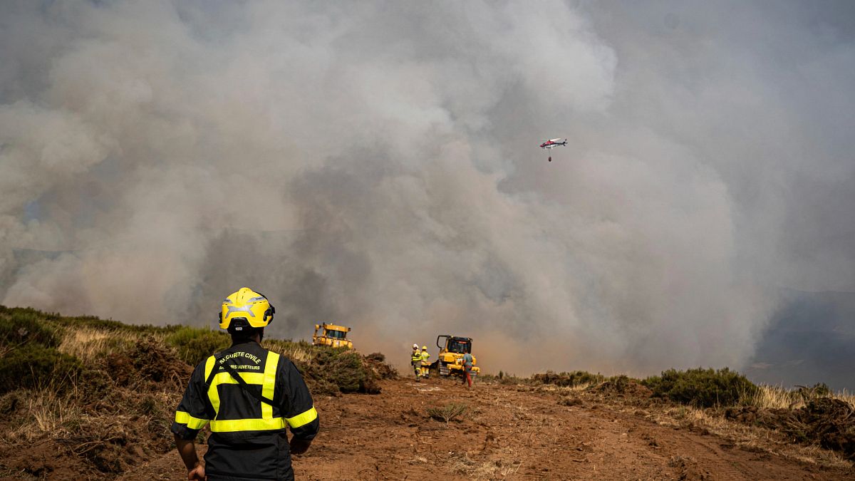
Aerial footage from Spain's Guardia Civil and the Spanish Air and Space Force shows the scale of the La Mierla wildfire in Guadalajara, central Spain.
Thick smoke rises over hillsides blackened by flames as helicopters fly above the fire, revealing the vast area affected by one of the country's largest wildfires this summer.
The blaze has been burning for six days despite a major firefighting operation involving more than 600 firefighters and troops, supported by 29 aircraft. Authorities say it is one of the most challenging wildfires they have faced.
More than 26,000 hectares have burned, while other official estimates put the affected area at around 30,000 hectares. Around 1,200 residents have been evacuated as crews continue to battle the flames north of Madrid.